
Somewhere to Ride
Manson,
Washington
Overview
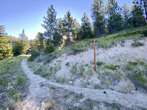
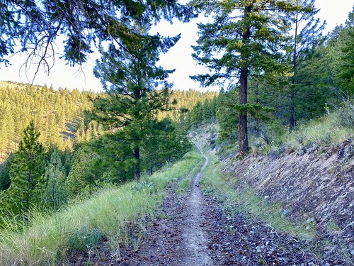
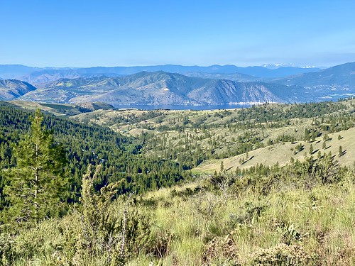
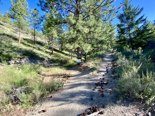
Somewhere to Ride is a single track available in both directions and is part of the Echo Ridge trail system. It is accessed from either the Shoe Trailhead via the Shoe Spur (which connects part of the way through the trail) or directly from the Upper Echo Ridge Trailhead. It is a relatively flat trail that contours around the hill, with a steeper ending to reach Spaghetti Junction.
Directions
Parking
Trip Reports
This was my first time mountain biking in over 20 years. I have hiked around Echo Ridge a handful of times, and was excited to try my hand, or should I say feet, at mountain biking. I decided to start at Shoe Trailhead for the sole reason that it was a new trailhead for me, and I wanted to get in some uphill at the start of the ride.
I didn’t see any other cars or people in the area, and decided to take the Shoe Spur up to Somewhere to Ride. There were parts of the Shoe Spur trail that had a fairly decent sized rut in the middle, and I was mostly able to ride on the sides, and in the center when the rut was small. I say mostly, because as I was biking the last 20 feet to connect up with Somewhere to Ride, I got sucked into the rut, starting tipping over and couldn’t get out of my clipless pedal, landing squarely on the ground - definite rookie move!

It was a benign fall, and I quickly got back up and started down Somewhere to Ridge. However, I’ll admit I took my time practicing clipping in and out of my pedals as I progressed down the trail, and whenever I got to a tricky spot, I made sure to unclip one foot. I made it to the end of Somewhere to Ride, aptly named Spaghetti Junction.
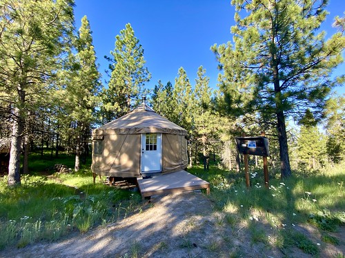
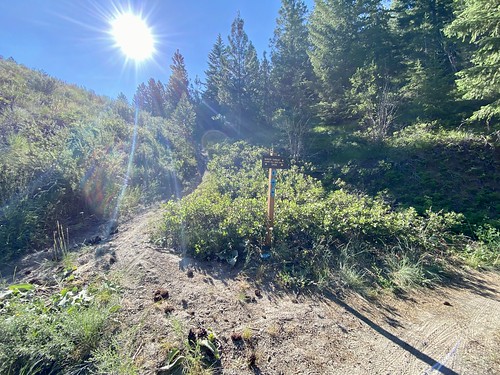
Spaghetti Junction had a large number of trails coming in, and I was wavering on my original plan of riding No-Where to Hide. After consulting the map, I decided to stick to the plan and headed off on No-Where to Hide. It was an old forest service road and an easy ride, and I made good time going back to the upper lot, and passed the yurt, which is used as a warming hut in the winter, along the way. If I did this trail again, I would probably use it to ride out to other trails, as it’s quick, but not very exciting.

Upon reaching the Echo Ridge Upper Parking Lot, I started riding down the road to the Lower Parking Lot, where I wanted to jump on another trail. But as I was riding down, I noticed a trail off to the side headed in the same direction. So I pedaled back up the road, consulted the map at the trailhead and saw I could take the Lot to Lot trail to hook into Somewhere to Ride (a different section than I started on) and then ultimately into Bob’s Trail. The Lot to Lot trail is very short, but has some fun curves in it.


The lower section of Somewhere to Ridge was fun, as it was all downhill and some nice single track (or at least nice to me as a complete beginner). As I was cruising down, I whipped past a trail junction and stopped right before reaching a dirt road, which was Purtteman Gulch Road. I turned around and saw the sign for Bob’s trail, and started on my way.
Bob’s trail was a nice single track which trended slowly uphill. On previous sections of this ride, I questioned whether I was going in the right direction. I guess there is no wrong direction, but it seems like certain mountain biking trails lend themselves to one particular way. And Bob’s trail seemed to fit in this category. It was fine to bike up as I was doing, but there seemed to be a number of cool features, like bumps and dips that would be fun heading down, rather than up.

After crossing over the ridge and going downhill for a short amount of time, I reached a junction with the Divine Intervention trail. There was only one problem, the junction was at a spot where both parts of Divine Intervention headed in the general direction of where I needed to go. And of course the trail map I had saved on my phone didn’t even show Divine Intervention (it didn’t have Bob’s trail on it either), and I had no cell service. I tried to recall what I had seen on the map back at the upper parking lot, but didn’t remember. I decided to take the lower track, and hoped it would connect into the Shoe Trail.

Divine Intervention was a really fun flowy trail as it trended downward while crosscutting the slope. I reached another junction and saw a sign for Minor Threat, which I remembered from the map, and the Shoe Trail. This had taken me exactly where I wanted to go, and it was a short ride back to the Shoe Trailhead.

It was a fun first ride at Echo Ridge, and my first mountain biking in 20 years. I definitely want to ride Bob’s trail again, just in the opposite direction. Looking forward to exploring more trails at Echo Ridge, it’s a great beginner area and there are next to no people around! Make sure to grab the latest Echo Ridge Trail Map, as there are some older ones floating around the interwebs...