
Echo Ridge - Outback
Manson,
Washington
Overview
Outback is a loop trail that is typically ridden counter clockwise, although either direction is fine. It contours around the side of peak 4324 and provides views of both Lake Chelan and the surrounding mountains.It's accessed from the North Junction Trailhead, as well as the Waterbar Heaven Trail and provides access to Mallory's Trail.
Directions
Parking
Trip Reports
I arrived at the empty trailhead a little before 8am with the haze of smoke lingering over the Chelan Valley. The AQI according to AirNow was was below 150, which is the number at which I typically won’t venture outside for hard physical activity. Such is the state of life that I now know what AQI means, and routinely have to check the air quality in the late summer...
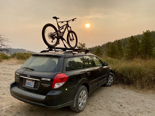
Less than a hundred of feet from the parking lot there is a junction with Waterbar Heaven, and there were two options up the hill. I choose the more direct approach (Western of the two trails) , which I believe is actually a continuation of Waterbar Heaven. While it was a relatively easy climb, the trail seemed more geared towards downhill travel, and after completing the loop and taking the other trail, I confirmed my suspicions. Next time, head right!

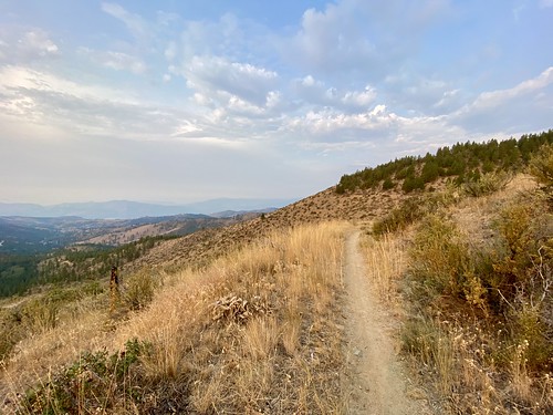
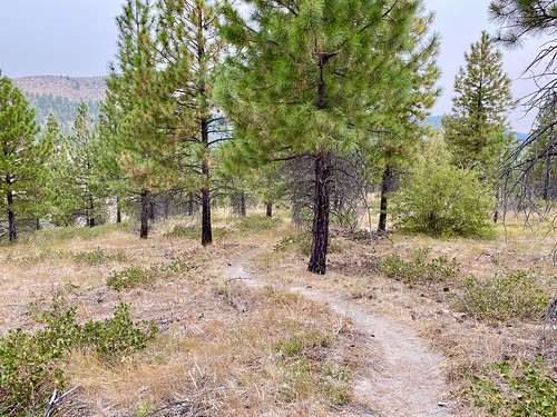
I made it up to the loop and decided to head clockwise. I learned after the fact that most people head counter clockwise, although riding clockwise was fine. The trail was relatively flat and in good shape - I was surprised it wasn’t more dusty given how little rain we get in the summer. After a short ride, I caught some hazy views of Lake Chelan and kept peddling around the mountain.
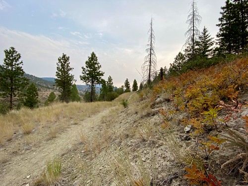
Less than halfway through Outback, the trail started to ascend. My initial reaction was to speed up and try and power through the ascent, but this one was long enough that I was quickly out of breath. I used the excuse of wanting to snap some photos, and got off my bike for a breather. I was unable to start riding again, as it was a little too steep for me, and had to walk my bike up a little ways until it mellowed out. For here on out, it was “low and slow” up the hills. Ahhhh the joys of being a beginner at a sport.

I reached the junction with Mallory’s and briefly contemplated trying to attempt that trail, but came to my senses and decided to keep riding. A couple of years ago I hiked Outback and Mallory’s and from what I recall, Mallory’s is above my pay grade. I’ll put in some time on the mountain bike this Fall and Spring, and attempt next summer.

As I made my way over to the North side of the mountain on Outback, it was interesting to see an increase in greenery. It wasn’t like I was magically transported to the Olympic peninsula, but there was definitely more green grass and plants, especially under tree cover.

Reaching the end of the loop brought up another decision point - do I ride down the trail I came up, which seemed like a fun downhill route, or try the other trail which I suspected was the better uphill route. I opted to try the “other” trail, which I believe is Outback, and it indeed was more suited to uphill travel. At least I now know going forward.

Upon reaching the North Junction Trailhead, I hadn’t had enough and consulted the map on possible options. There were three trails and one road heading South, and I ruled out Dust To Glory because I wanted a shorter loop and the road (8010), because, well, roads aren’t that fun to mountain bike on, even for a beginner like me. I ultimately opted for Lickety Split, as it looked a lot easier (not much incline and a nice wide trail) than T-bone.

As soon as I got around the first corner on Lickety Split, the trail steepened and narrowed. I was able to get part of the way up going low and slow, but eventually my tires went into a rut in the center of the trail and I spun out and had to walk a small distance up the rest of the trail. After that it was smooth sailing, or should I say biking, and I veered off onto Big Critter.
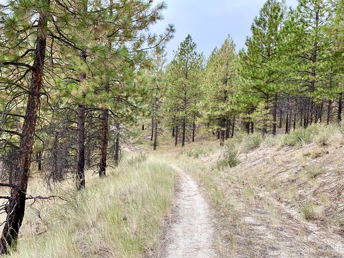
I cruised along Big Critter and then took Far East towards High Five Junction. Fortunately, all the trails and junctions are very well marked, and it was easy to follow along. The trail was relatively flat and pretty easy, allowing me to make good time.
From High Five Junction I jumped on Little Critter and then onto T-bone. The lower section of T-bone was fun, with a decent decline and some small turns. While it wasn’t particularly difficult to go down, I just kept my speed in check, I’m glad I didn’t try to ride up it.
Another fun day exploring Echo Ridge, and am starting to get comfortable both on my mountain bike and with the trials at Echo Ridge. At least everything is very well marked, and I know to bring a downloaded map on my phone, as cell service is spotty at best.